
In order to beat the funky winter blues I decided to plan for some fishing trips during the year. To paraphrase an old TV western my motto is, Have Fly Rod Will Travel. While I have a number of places close to me there is always that question in my mind, “What’s around the bend” and so begins the process.
To start with I took out a map, actually it hangs on the wall by my fly tying bench and looked for lakes and rivers within a two hour drive from my location. Armed with this first batch of mega data the next step is to try and narrow the field. So how does one go about this? First determine if you are hiking a distance to wade a lake or river or if there is an access that will allow the launch of a kayak or canoe. This will break up the data into two groups.
Regardless of which type of activity there is one book that any outdoors person should have and that is a DeLorme or a similar type of map book. These map books provide detail regarding access sites for a wide range of activities like hiking, fishing, hunting, golf etc. In addition each page usually is a county and so besides major highways county roads and unpaved roads are shown. Also there are usually points of interest listed.

This is when I might go to the internet and start searching for information concerning the places I’m thinking about. The United States Forest Service, State Departments of Natural Resources and universities to name a few places where information can be obtained. Some of my searches revealed papers written by either universities or DNR personnel regarding studies of certain rivers with details about the species, sizes and numbers of fish found.
Based upon the above findings another source of information that can prove invaluable are forums like Michigan Sportsman’s or YouTube. Also Google Earth can provide some very good topographical data about the areas you are interest in. In one instance I found that I could access a certain section of river with around a 20 minute hike through the forest and down a hill. In another I found where a person had placed a video of his drone flying over a back country lake I was interested in.
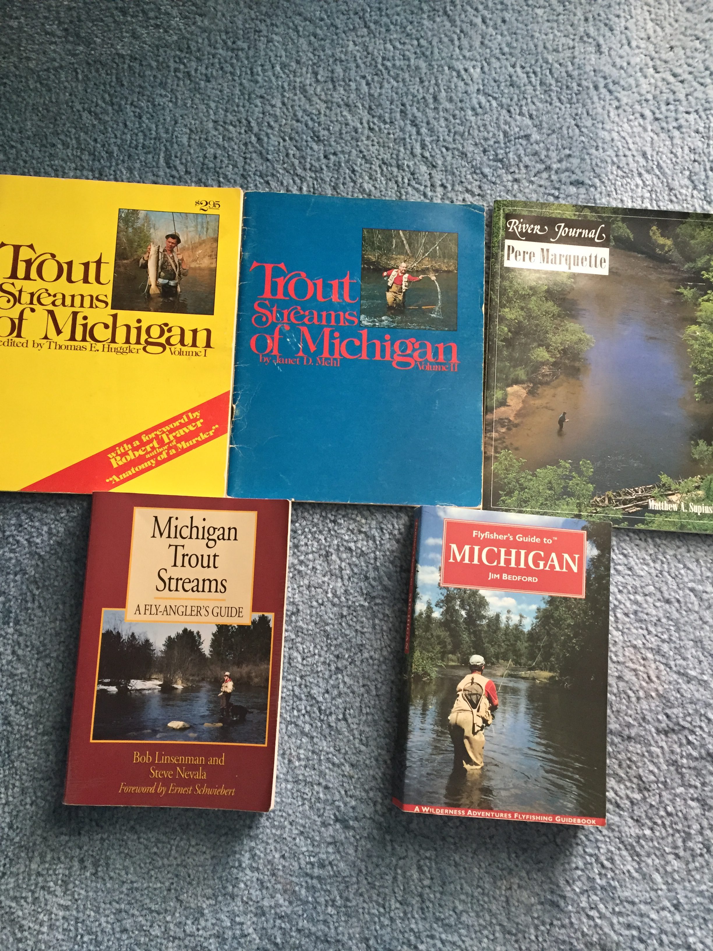
We still have not exhausted the various sources of information. One of the last sources are called guide books. The pictures below show a few of these but in addition there are books on rivers or hiking trails. Check out your local bookstore or even a used bookstore. The wealth of knowledge that is available from all the sources should provide a person with enough information to have a great time.

One last bit of advice is to take a compass and know how to use it. You can take a GPS but batteries fail and if you are going into the bush be smart. Don’t depend upon your cell phone as cell tower access or the lack thereof can be a battery killer and you may need it for other purposes. Another thing is to study the topo maps of the area you are going into and printing one off to take it with you. Take water, energy bars, bug spray, sunscreen, matches, knife, whistle and a first aid kit. You may never need all these items but it is better to have them. Have fun and enjoy your outing.
